01Part
Valley Station at a glance
Difficulty
Medium
Can you start here?
Sandbox start (since 42.17)
Worth looting for
Food, Guns, Tools, Military
Map centre
About 13618,5162
Suburbs and shopping between West Point and Louisville: the Crossroads Mall, a gun store, two tool stores, a clinic and pharmacy, a warehouse and army storage near the Louisville checkpoint. A stepping stone towards the city. Updated for Build 42.21, November 2026.
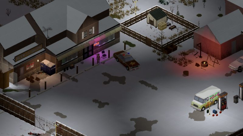
Medium
Sandbox start (since 42.17)
Food, Guns, Tools, Military
About 13618,5162
| Place | Type | Coordinates | Notes |
|---|---|---|---|
| Crossroads Mall | Food | 13936,5832 | |
| Gun store | Guns | 13261,5443 | |
| Tool stores | Tools | 13939,4866 | |
| Army storage | Military | 14334,4951 | Near the Louisville checkpoint |
| Warehouse | Tools | 12621,4718 |
Coordinates are world tiles (x,y) from the Build 42.21 map. Police lockers and gun storage are random, never guaranteed.
A house on the outskirts with a garage. Close enough to raid Louisville, far enough to sleep.
How to fortify it: base building.
| Town | Direction | Distance (approx.) |
|---|---|---|
| West Point | south-west | 2.3 km |
| Louisville | north | 2.9 km |
| Dixie | south-west | 4.2 km |
| Muldraugh | south-west | 5.6 km |
Straight-line distances between town centres; roads are longer. Every town: Knox Country map.
In Sandbox games since 42.17.
No. The nearest is in Louisville.
Places and coordinates from the Build 42.21 map data as published by pindrop.gg, cross-checked with pzfans.com; town descriptions from ProjectZom’s Knox Country map and The Indie Stone’s 42.20 notes. Distances are computed from the coordinates.