Emergency broadcastKNOX COUNTY: STAY INDOORS_ BUILD 42.21 STABLE IS LIVE
Latest
Oct 27 · 42.22 pre-release: ladders and crowbar break-insOct 23 · First-person mods are not officially supportedOct 21 · The Indie Stone on Java mods: download responsiblySep 28 · Build 42.21 Stable: zombie duplication fixesAug 26 · Security fixes on every branchAug 17 · Servers now handle up to 254 playersJul 29 · Build 42 goes Stable
Travel routes between towns in Project Zomboid
This page explains how the towns of Knox Country connect in Build 42, from the Dixie Highway in the east to the new western towns. It covers distances, bridges, the way into Louisville, rail lines as landmarks, and how to prepare for a long trip. Written for Build 42 (42.22), November 2026.
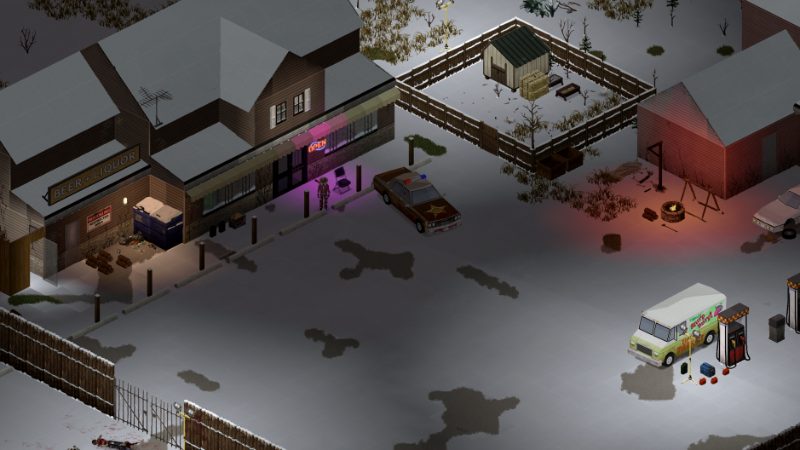
The Dixie Highway links Muldraugh, West Point and the road to Louisville.
01Part
How Knox Country is laid out
The Build 42 map is one continuous piece of land roughly 19,968 by 16,128 tiles across (one source). The Ohio River runs along the northern edge, and the towns form two bands. The original towns sit in the east and center: Muldraugh on the north-south highway, West Point to its north, Rosewood to the southwest, March Ridge southeast of Rosewood, and Riverside on the river far to the west of West Point. Louisville fills the northeast corner, with Valley Station just south of it.
Build 42 added a western band: Brandenburg on the Ohio River in the northwest, Ekron on the far west edge, Echo Creek as a rural town between Ekron and Rosewood, and Irvington in the far southwest corner. Fallas Lake sits in the middle, between the Riverside corridor and Rosewood. Past the hand-drawn map, the Build 42 wilderness has no roads or towns, so it is not a route anywhere.
No fan source publishes a full road-by-road route list, so open the online map or a found in-game map before a long trip and trace the road yourself.
02Part
The main roads you will use
Dixie Highway (US 31W). The four-lane spine of the east side. It runs the length of Muldraugh, then north past the Dixie Mobile Park to West Point and Valley Station, and on toward the exclusion zone around Louisville.
Side streets in Muldraugh. Wilson St and Perrine St run parallel to the highway on the east side and are quieter ways through town than the four-lane, where zombies can see you from far off.
KY-79 and Irvington Road. KY-79 runs through Irvington and east past its farm and auction lots. Irvington Road leads out of town toward the other western towns.
Ekron's single connector. A wrecked train blocks Ekron's main street, so one road to the north is the only link between the town's west and east halves. It is both your loot route and a chokepoint.
Highways and town connectors in Build 42 still carry wrecks, abandoned cars and military scenes.
03Part
Route table: distances and hazards
The figures below are straight-line distances, not road distances. Rows with exact figures come from pindrop.gg (measured from town labels, West Point rows) and pzfans (measured from the Irvington spawn). Rows marked "about" are worked out from pzfans town-center coordinates and rounded to the nearest 100. Label-based and center-based numbers differ: Muldraugh to West Point is 3,192 tiles by label but about 2,800 by town center. Roads wind, so the real drive is always longer.
Route
Straight-line distance
Hazards and notes
West Point to Muldraugh
3,192 tiles
Dixie Highway; open four-lane, wrecks, the Dixie trailer park in between
West Point to Valley Station
2,394 tiles
North on Dixie Highway; denser zombies as you near Louisville
West Point to Louisville
4,840 tiles
Highway bridge often jammed with wrecks; military checkpoint and fence
West Point to Riverside
5,398 tiles
Long run west along the river side of the map
West Point to Rosewood
5,935 tiles
Usually driven via Muldraugh
Muldraugh to Rosewood
about 3,300 tiles
Rosewood lies southwest of Muldraugh; police and prison block in town
Rosewood to March Ridge
about 1,800 tiles
March Ridge lies southeast; military housing
Rosewood to Echo Creek
about 4,200 tiles
Rural road west; few fuel stops
Irvington to Echo Creek
3,858 tiles
Closest town to Irvington
Irvington to Ekron
4,858 tiles
Rail lines meet in Irvington; Ekron has one connector road
Irvington to Muldraugh
9,765 tiles
A true long-haul trip; fill up and carry spare fuel
The game gives no official tile-to-meter conversion. pzfans suggests treating one tile as roughly one meter for planning (one source), which makes Muldraugh to West Point about 3 km and Irvington to Muldraugh close to 10 km in a straight line. No source we checked gives reliable walking or driving times between towns, and in-game time also depends on your day-length setting, so time a short leg yourself before committing to a long one.
04Part
Rivers, bridges and rail lines
The Ohio River marks the northern edge of the map, with Riverside, West Point and Brandenburg on its bank. The Salt River lies east of the West Point area. Louisville is on the same landmass as the rest of Knox Country and is reached from the south, not across the Ohio. Treat the Ohio as an edge, not a road out; claims that every Ohio bridge was demolished by the Army are not something to plan around.
The best-known problem crossing is the highway bridge on the way from West Point to Louisville. A guide written before Build 42 says it is often packed with car wrecks and suggests following the railway instead, then rejoining the road past the bridge. A propane torch lets you cut wrecks apart if you must take the highway. We could not confirm the exact Build 42 state of this bridge, so check it on the map before you rely on it.
Rail lines make good landmarks because they run straight and avoid town centers. Build 42 has a Western Railroad that runs to Ekron and a Southwestern Railroad that runs toward Fort Knox, and the two meet in Irvington. Ekron's main street is blocked by a broken train, Brandenburg has a wrecked train yard, and Louisville has a train station near the southern checkpoint.
05Part
Getting into Louisville
Louisville is surrounded by a long barbed wire fence that you cannot climb by holding the interact key. Two ways in are described by guides:
The military checkpoint. On the south approach, with army storage and tents nearby. You leave the vehicle several times to open gates and remove or dismantle barricades, then drive on past refugee camps into the city. Hordes gather here.
A gap in the fence. Follow the railway past the train station, turn north near the last train car, and cross a small wood to a break in the wire. Guides say this way has fewer zombies.
A sledgehammer breaks fences and barricades if neither way is open. The refugee camps have metal drums that hold 800 units of water (one source). These directions come from Build 41 era guides; the fence and checkpoint still appear on the Build 42 map, but check the exact gaps in your own game.
Opinion Start a Louisville run from West Point or Valley Station with a full tank, arrive at first light, and park facing the way out before you leave the car to open a gate.
06Part
Planning a long trip
Multi-town loops into the Build 42 west burn more fuel than players expect. Keep a reserve, and see the fuel guide for siphoning and pumps after the shutoff. Irvington's pumps (Thunder Gas on the north side, Gas-2-Go south of the school, Fossoil on the main street) are useful refill points at the bottom of the map.
Item
Why it matters
Full tank plus a spare gas can
Western towns have few pumps between them, and pumps stop working after the power goes
Hose or siphon tool
Refill from abandoned cars along the highway
Propane torch or sledgehammer
Clear wrecks on bridges and barricades at Louisville
Map with your route marked
No signposted route list exists; the wilderness has no roads
Food, water and bandages for two days
A breakdown can turn a drive into a long walk
Opinion Drive in daylight and use the open highway rather than town streets, since wrecks and crowds are easier to see coming. Stop for the night in a quiet building off the road instead of driving in the dark. Clear a route once if you plan to reuse it, and pick the safer side streets through towns, such as Wilson St in Muldraugh. The riskiest routes are those that end at Louisville, cross the West Point bridge, or pass through dense town centers like Rosewood's police block. The driving guide covers handling, crashes and noise on the road.
07Part
Quick answers
What road connects Muldraugh and West Point?
The Dixie Highway (US 31W). It runs north out of Muldraugh past the Dixie Mobile Park to West Point and continues toward Valley Station and Louisville.
How far is Muldraugh from West Point?
About 3,192 tiles in a straight line by town label, or roughly 2,800 tiles between town centers. With one tile treated as about one meter, that is around 3 km before the road winds.
How do I get into Louisville in Build 42?
Drive north to the military checkpoint on the south approach and open its gates and barricades, or follow the railway past the train station to a gap in the barbed wire fence. A sledgehammer can break through fences and barricades.
Is the bridge to Louisville blocked?
Older guides say the highway bridge on the West Point to Louisville road is often jammed with wrecks and suggest following the railway instead. Check its state on the map in your own game.
Which town is closest to Irvington?
Echo Creek, about 3,858 tiles away in a straight line. Ekron is next at about 4,858 tiles.
Can I leave Knox Country across the Ohio River?
No. The Ohio River and the map edges act as borders, and the Build 42 wilderness beyond the hand-drawn map has no roads or towns.